With the Fitbounds plugin, Shack Locations Pro will intelligently fit all the map directory existing markers within the bounds of the maps. Your map directory viewers won't have to zoom or pan on the maps to see all the available markers.
All the zooming and panning for them will be automatically done on the background by the Fitbounds plugin. Let's take a look at how this feature works using a sample maps directory.
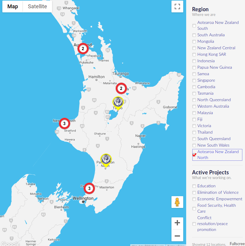
For my demonstration, I selected the map of Aotearoa New Zeland North:

As you can see on the screenshot above, the map has been zoomed and panned to fit in all the Aotearoa New Zeland North Soroptimist Clubs. Two markers on this map each pinpoint to a club. For other markers, each pinpoints to a cluster of clubs. All in all, the map displays to you all of the clubs in the Aotearoa New Zeland North.
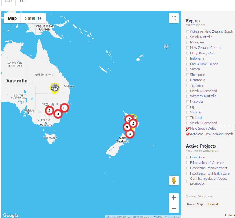
Now, let's widen our search for a Soroptimist Clubs to, for example, New South Wales state of Australia. Once you selected its checkbox, you noticed how Shack Locations Pro automatically did some zooming and panning for you.
It changes the scale of the map to fit within its boundaries all of the Soroptimist Clubs within the two areas you selected:

